Infrastructure
- Home
- Infrastructure
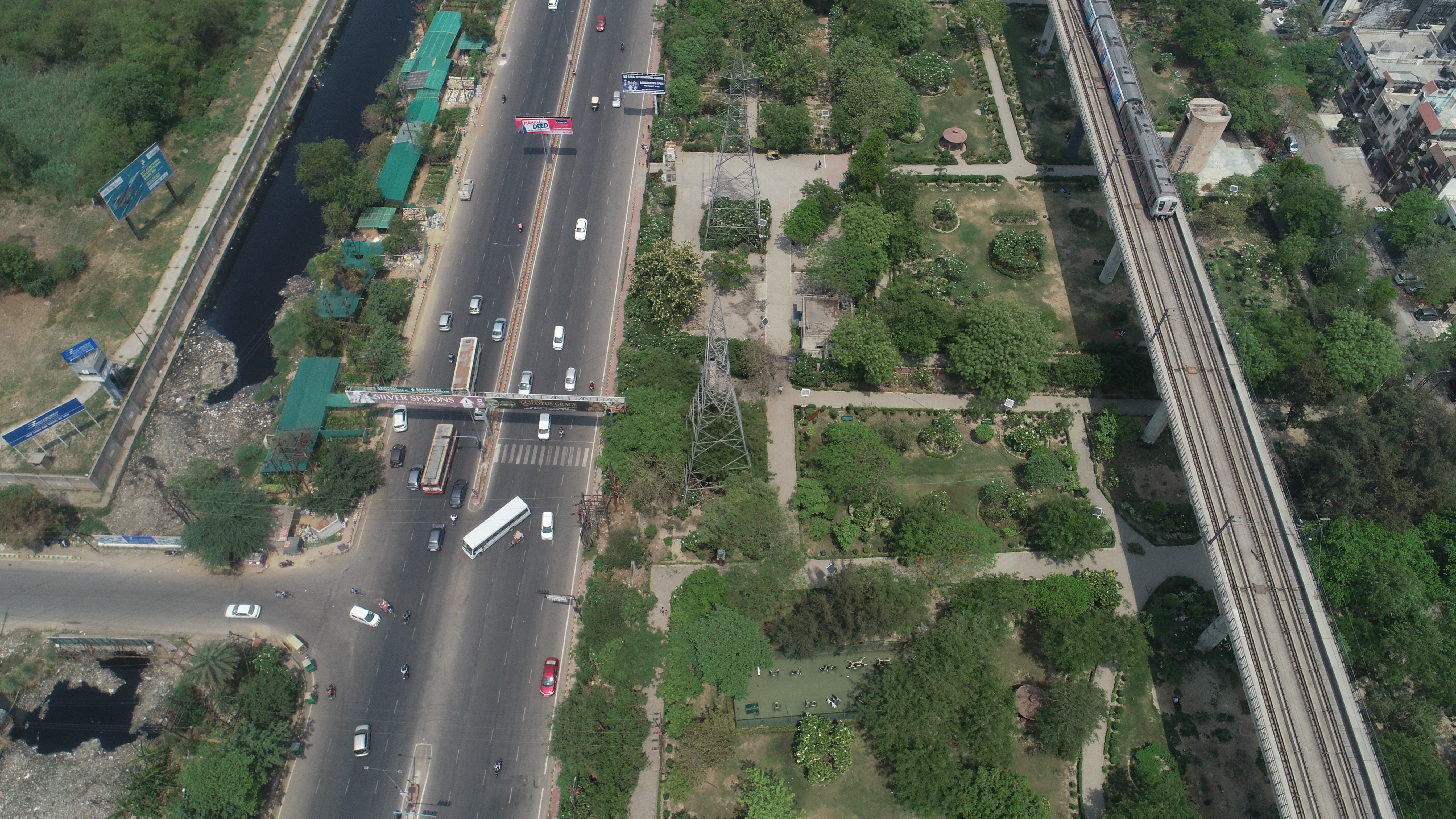
Roads and Highways
- From bid preparation through project development, completion and maintenance, drones offer ways to speed results and reduce costs on heavy/highway construction projects.
- Monitor and manage national highways and road assets using Drones
- To ensure proper implementation of highways/roads construction program as well as tree plantation drive using Drone
- Traditional Survey – Total Station & DGPS
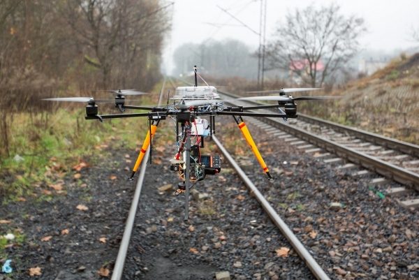
Railways
- To detect tiny deteriorations in infrastructure
- To monitor the stability of retaining walls
- Drone powered solutions can help reduce the risk, time, and cost of accessing difficult areas.
- Drones make it possible to get accurate data to support the intelligent management of remote infrastructure and increase the resilience and lifespan of the asset.
- In accident investigations, drones have been used to capture visual, thermal, and multispectral data. Vitally, as well as capturing important data, drones also reduce the risks of unnecessarily bringing people into dangerous accident sites.
- Traditional Survey - Total Station & DGPS
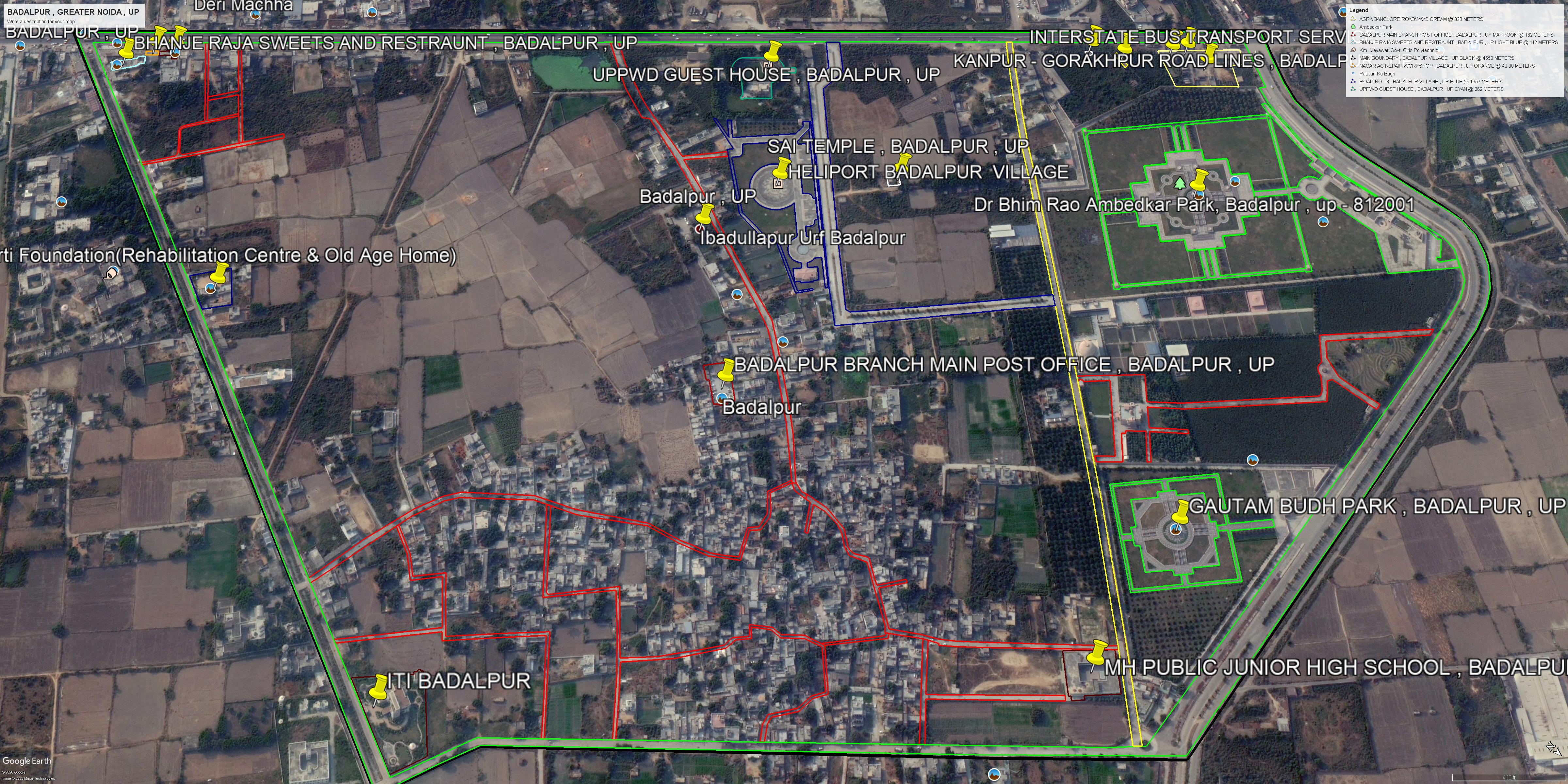
Town Planning
- Contour, Orthomosaic and 3D planning using Drones
- Measurement of roads, area and marking of important buildings Using Drones
- Traditional Survey – Total Station & DGPS